 geonetworktest
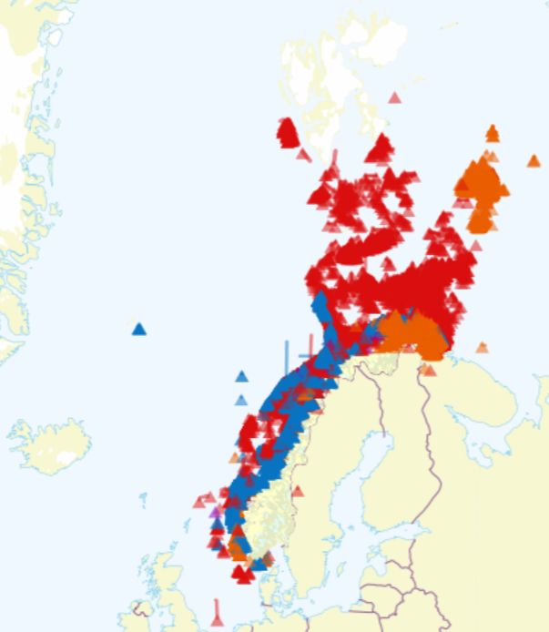
Fishery activity (passive tools)
BarentsWatch fishery activity gives a timeline of data displayed in FishInfo since the end of 2014. The map shows passive fishing tools in the selected months reported to the Coast Guard Reporting central according to "Utøvelsesforskriften" § 30.
Reporting is only obligatory outside the Norwegian baseline. Read the full text at www.fiskeridir.no
Simple
Identification info
- Date (Creation)
- 2016-10-18
- Date (Publication)
- 2016-10-18
- Date (Revision)
- 2016-10-18
- Purpose
-
Data are continuously reported to the Coast Guard Reporting central in order to avoid conflict between fishermen.
- Status
- On going
- Maintenance and update frequency
- Daily
- Nasjonal inndeling i geografiske initiativ og SDI-er
-
-
Barentswatch
-
- Nasjonal tematisk inndeling (DOK-kategori)
-
-
Marine activities
-
- Theme
-
-
fisheries
-
bruksdata
-
-
COMMISSION REGULATION (EC) No 1205/2008 of 3 December 2008 implementing Directive 2007/2/EC of the European Parliament and of the Council as regards metadata, Part D 4, Classification of Spatial Data Services
- Keywords
-
-
BarentsWatch
-
- Access constraints
- Other restrictions
- Other constraints
- Åpne data
- Use constraints
- Other restrictions
- Other constraints
- Norsk lisens for offentlige data (NLOD)
- Service Type
- view
))
- Begin date
- 0001-01-01
- Coupling Type
- Tight
Contains Operations
- Distribution format
-
-
PNG
(
1.0
)
-
PNG
(
1.0
)
- Hierarchy level
- Service
- Other
-
service
- Statement
-
Dataene oppdateres fortløpende basert på innrapportering til Kystvaktsentralen.
- File identifier
- 69f9e7e4-daf3-4648-ac2a-faa6d158dc0c XML
- Metadata language
- Norwegian
- Parent identifier
-
BarentsWatch WMS
270f936d-ebed-42b0-a127-545383d773fc
- Hierarchy level
- Service
- Hierarchy level name
-
service
- Date stamp
- 2021-02-17
- Metadata standard name
-
ISO19115
- Metadata standard version
-
2003
Overviews

Spatial extent
Provided by
