 geonetworktest
S100 Raster
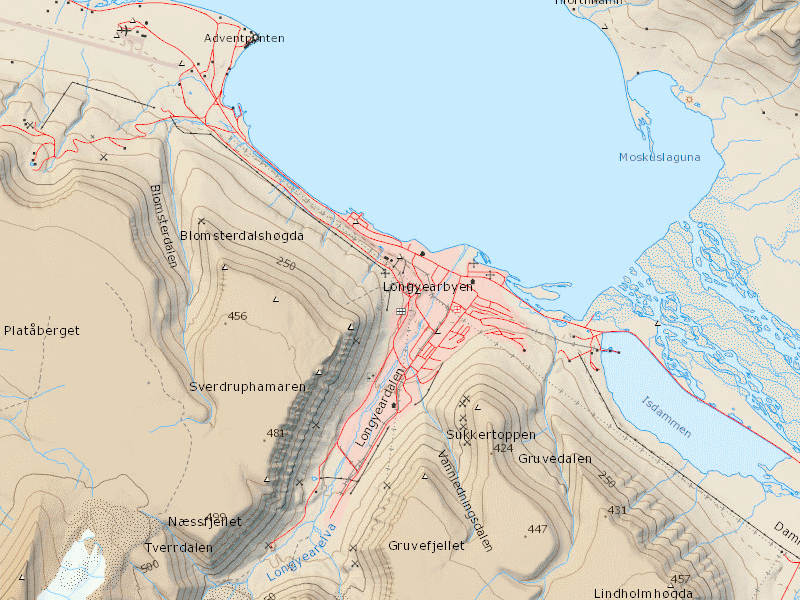
Offline map of Svalbard equivalent to the zoom level for 1:40 000 in the cache service NP_Basiskart_Svalbard_WMTS_25833
The map is generated with the production of new map data and updates in the map service above.
The map is in JPEG 2000 (JP2) file format, and suited for use in GIS and map apps for Android and iOS, e.g. GeoViewer. File size approx. 600MB.
Simple
- Date (Creation)
- 2017-11-03
- Date (Publication)
- 2017-11-03
- Date (Revision)
- 2017-11-03
- Unique resource identifier
- S100 Raster
- Purpose
-
Suited for use in GIS and map apps (e.g. GeoViewer)
- Status
- On going
- Maintenance and update frequency
- Irregular
- GEMET - INSPIRE themes, version 1.0
-
-
Utility and governmental services
-
Land cover
-
Buildings
-
Hydrography
-
Elevation
-
Coordinate reference systems
-
Production and industrial facilities
-
Geographical names
-
Transport networks
-
- Nasjonal inndeling i geografiske initiativ og SDI-er
-
-
Beredskapsbase
-
Norway Digital
-
National public data catalog
-
- Place
-
-
Svalbard
-
- Theme
-
-
Kartdata
-
S100
-
S100 Kartdata
-
Landdata Svalbard
-
- Specific usage
-
Suited for use in GIS and map apps (e.g. GeoViewer)
- Use limitation
-
Ingen begrensninger på bruk er oppgitt.
- Access constraints
- Other restrictions
- Other constraints
- Åpne data
- Use constraints
- Other restrictions
- Other constraints
- Creative Commons BY 4.0 (CC BY 4.0)
- Classification
- Unclassified
- Spatial representation type
- Grid
- Denominator
- 100000
- Metadata language
- Norwegian
- Topic category
-
- Imagery base maps earth cover
))
- Begin date
- 0001-01-01
- Supplemental Information
- engelskHjelp
- Distribution format
-
-
JPEG2001
()
Distributor
- Units of distribution
-
Region
- OnLine resource
- grid ( WWW:DOWNLOAD-1.0-http--download )
-
JPEG2001
()
- Units of distribution
-
Region
- OnLine resource
- grid ( WWW:DOWNLOAD-1.0-http--download )
- Hierarchy level
- Dataset
- File identifier
- 01e02abb-0aa9-46f6-96ff-f7e97ecff726 XML
- Metadata language
- Norwegian
- Hierarchy level
- Dataset
- Date stamp
- 2021-03-19
- Metadata standard name
-
ISO19115
- Metadata standard version
-
2003
Overviews


Spatial extent
Provided by
