 geonetworktest
Hoved- og biled
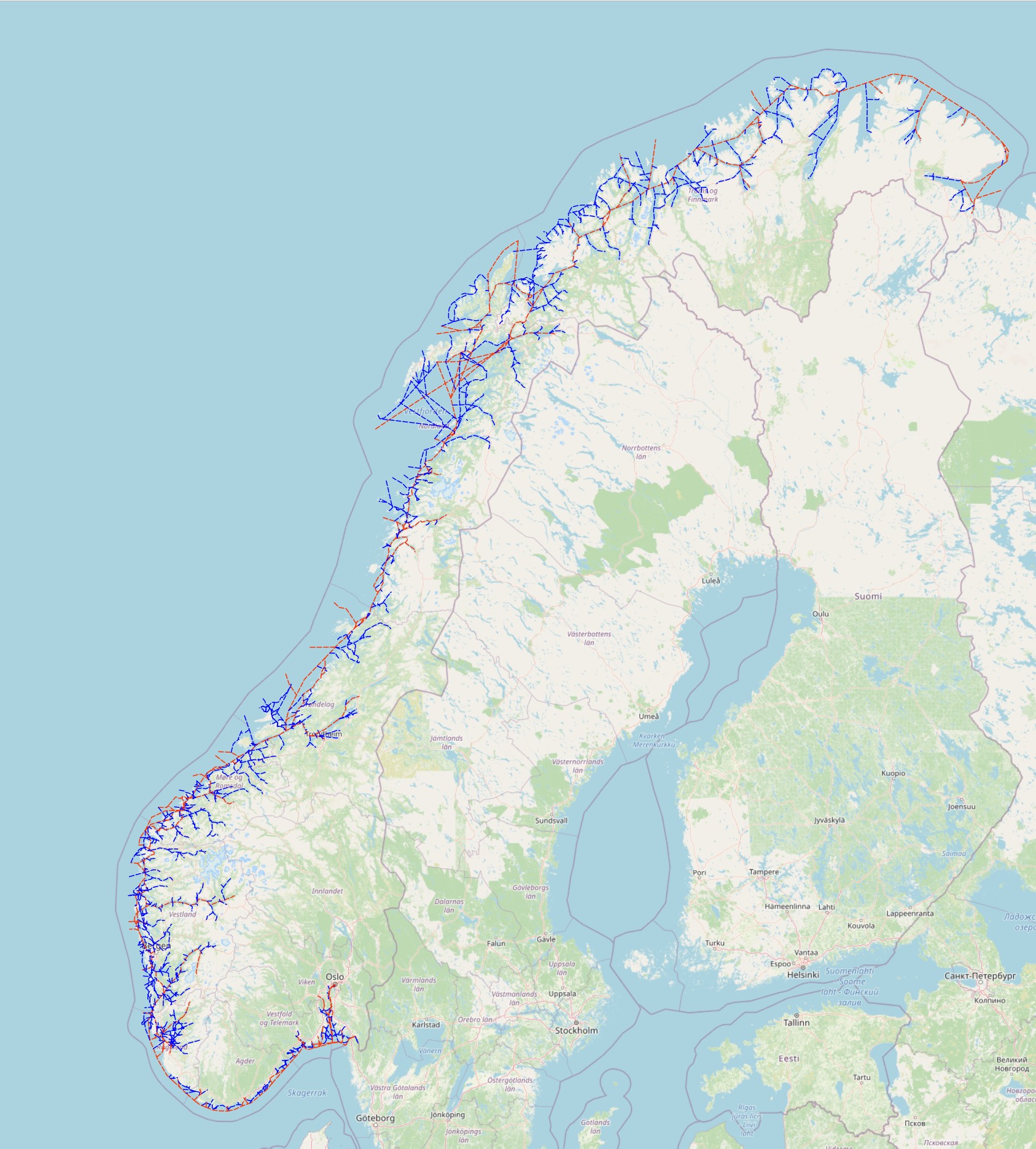
Datasettet viser farleden som er grunnlaget for forvaltningsareal i forbindelse med ny havne og farvannslov.
Simple
Identification info
- Date (Publication)
- 0001-01-01
- Date (Creation)
- 0001-01-01
- Date (Revision)
- 2016-06-30
- Status
- On going
- Maintenance and update frequency
- Continual
- GEMET - INSPIRE themes, version 1.0
-
-
Sea regions
-
- Nasjonal inndeling i geografiske initiativ og SDI-er
-
-
Barentswatch
-
Open data
-
Norway Digital
-
- Nasjonal tematisk inndeling (DOK-kategori)
-
-
Marine activities
-
- Place
-
-
Hele landet
-
- Theme
-
-
fairway
-
-
COMMISSION REGULATION (EC) No 1205/2008 of 3 December 2008 implementing Directive 2007/2/EC of the European Parliament and of the Council as regards metadata, Part D 4, Classification of Spatial Data Services
- Specific usage
-
Farledsdatasettet beskriver hvor Kystverket har sine hovedinteresseområder på kysten og det er viktig for Kystverket at det blir tatt hensyn til farledsnettet ved planlegging og forvaltning i kystområdene.
- Use limitation
-
No conditions apply
- Access constraints
- Other restrictions
- Other constraints
- Åpne data
- Use constraints
- Other restrictions
- Other constraints
- Norsk lisens for offentlige data (NLOD) 2.0
- Other constraints
-
Ingen begrensninger oppgitt.
- Classification
- Unclassified
- Service Type
- view
))
- Begin date
- 0001-01-01
Contains Operations
- Distribution format
-
-
WMS
(
1.3.0
)
-
WMS
(
1.3.0
)
Distributor
- Name
-
image/gif
- Name
-
image/png
- Name
-
image/png; mode=24bit
- Name
-
image/jpeg
- Name
-
image/wbmp
- Name
-
image/tiff
- Units of distribution
-
landsfiler
- OnLine resource
- layer_37 ( OGC:WMS )
- Hierarchy level
- Service
- Other
-
service
- Statement
-
No lineage available
- File identifier
- 409eff00-f18b-4dd8-abfd-1f92c6e9c361 XML
- Metadata language
- Norwegian
- Parent identifier
-
Norwegian Coastal Administration WMS
768a3ca6-0655-45d5-8cd5-76bd7e0e59d2
- Hierarchy level
- Service
- Hierarchy level name
-
service
- Date stamp
- 2020-12-17
- Metadata standard name
-
ISO19115
- Metadata standard version
-
2003
Overviews


Spatial extent
Provided by
