 geonetworktest
100000
Type of resources
Available actions
Topics
Keywords
Contact for the resource
Provided by
Years
Formats
Representation types
Update frequencies
status
Scale
-

Offline map of Svalbard equivalent to the zoom level for 1:40 000 in the cache service NP_Basiskart_Svalbard_WMTS_25833 The map is generated with the production of new map data and updates in the map service above. The map is in JPEG 2000 (JP2) file format, and suited for use in GIS and map apps for Android and iOS, e.g. GeoViewer. File size approx. 600MB.
-

J1000 Map data is a generalization of J100 Map data, cartographically suited for scales 1:700 000 to 1:1 500 000. The product covers the land area of Jan Mayen.
-
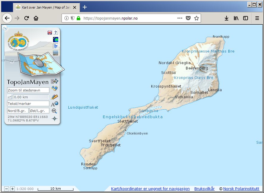
TopoJanMayen is the Norwegian Polar Institute's topographical application for Jan Mayen, and contains maps and satellite images. Beyond basic functionality as coordinate readings and place name searches, distance measurements and data plotting, the user can also browse place names information and landscape photos.
-

Dwelling statistics on grid 1000m x 1000m.
-

A facility or installation permanently located on the field during the lifetime of the field. Production ships are covered by this definition if they are intended to be permanently placed on the field.
-

Businesses on grids 1000 metres. Number of businesses within each grid cell.
-

Wellbores
-

-

Pipelines which belong to Transportation systems for petroleum on the Norwegian sector.
-

The dataset shows national, county and municipal divisions within the country. The municipalities are delimited by National Border, Outer Limit of Territorial Waters 12 Nautical Miles, Agreed Delimitation Line, county boundary and municipal boundary. The units include properties which indicate official municipal numbers.