 geonetworktest
Format
JPEG2001
Type of resources
Available actions
Topics
Provided by
Years
Formats
Representation types
Update frequencies
status
Scale
From
1
-
1
/
1
-
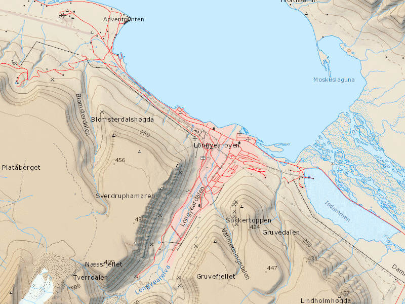
Offline map of Svalbard equivalent to the zoom level for 1:40 000 in the cache service NP_Basiskart_Svalbard_WMTS_25833 The map is generated with the production of new map data and updates in the map service above. The map is in JPEG 2000 (JP2) file format, and suited for use in GIS and map apps for Android and iOS, e.g. GeoViewer. File size approx. 600MB.