 geonetworktest
fairway
Type of resources
Available actions
Topics
Keywords
Contact for the resource
Provided by
Representation types
Update frequencies
status
Service types
Scale
-
-

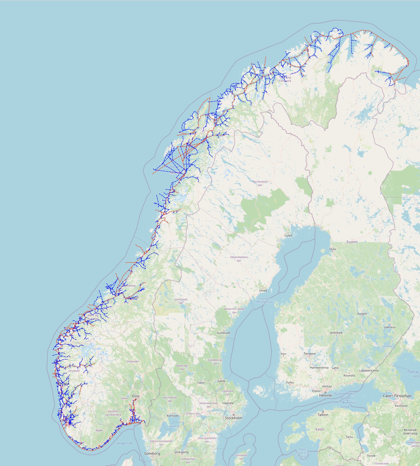
The data set shows the Norwegian Coastal Administration's defined area of authority as given through regulations on fairways.
-

Includes a series of datasets. Data on fairways, shipping, ports, emergency response, etc. The data is categorised according to the specialist fields to which it belongs. For a full overview of what the service offers, see: https://services.kystverket.no/wms.ashx?SERVICE=WMS&VERSION=1.3.0&REQUEST=GetCapabilities
-

Fairways are indicated through the Regulation dated 30 November 2009, no. 1477 (Regulation on fairways). The entire coast of Norway is currently covered by a standardised reference system of various fairway categories. The fairway structure includes the network of maritime transport arteries and is a national geographical reference system for measures within administration, planning, development and operational activities in the coastal zone. More about the fairway structure: http://www.kystverket.no/Maritim-infrastruktur/Farleder /Farledsstrukturen/