boundaries
Type of resources
Available actions
Topics
Keywords
Contact for the resource
Provided by
Years
Formats
Representation types
Update frequencies
status
Scale
Resolution
-

The dataset defines siidas in the Sami reindeer grazing area. A siida is a group of reindeer owners who practice reindeer husbandry together in particular areas. There are summer siidas and winter siidas. There have been a little less than 100 summer siidas over the past few years, and around 150 winter siidas in the Sami reindeer grazing area. A siida comprises one or more siidaunits, each of which has a responsible leader.
-

-

The dataset shows national, county and municipal divisions within the country. It has the most accurate boundaries that have been recorded digitally and are collected in a dataset. The municipalities are delimited by National Border, Outer Limit of Territorial Waters 12 Nautical Miles, Agreed Delimitation Line, county boundary and municipal boundary. The dataset also includes a baseline and 1 nautical mile, which are legal lines that can be used when processing cases linked with specific laws. The units include properties which indicate official municipal numbers. The official Norwegian, Sami and Kven names for counties and municipalities are taken from SSR. There is also information about Sami language administrative districts.
-

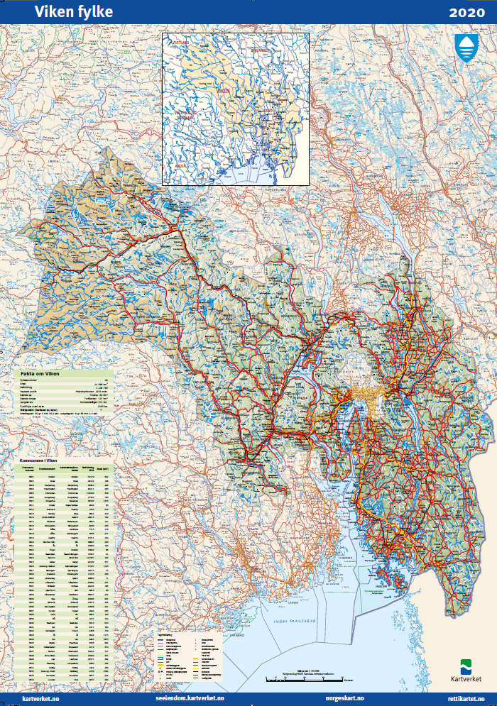
County map
-
-
The dataset contains the borders for the management plan areas The Barents sea, The Norwegian sea and the North sea
-

Potential accessible coastal zone is calculated based on terrain, roads, railways, cultivated land areas, buildings and coastline. Data are from different sources and processed into land use surfaces by Statistics Norway. The surfaces which are not affected by anthropogenic activity are considered potentially available for outdoor activities. The different surfaces also contain features showing the steepness with following categories: little steepness <3, some steepness 3-10, large steepness 10-25 and very high steepness > 25 degrees. Potential accessible coastal zone are geographical areas with boundaries changing over time depending on anthropogenic activity.
-

The constituency boundary file shows the division of individual municipalities into voting areas in connection with the 2019 elections. The local government elections of 2019 will be implemented on the basis of the administrative boundaries counting from January 2020. The file therefore contains a great number of changes from earlier versions. Each constituency will have characteristics showing the municipality numbers of 2020. The file will be available as a nationwide file. When counting votes, the municipality may choose to merge a number of smaller voting districts to form a single counting district. If so, it will be shown in the file. The final file will be published in June, shortly after the deadline for municipal registration of voting areas.
-

-

Norge 1:50000 (land)
 geonetworktest